Early in 1862, Confederate general Thomas J. “Stonewall” Jackson decided to “move swiftly and strike vigorously” against larger United States forces in the Shenandoah Valley. U.S. general George B. McClellan landed the largest army in North American history on the Virginia Peninsula but moved it cautiously toward the Confederate capital. Jackson’s success and McClellan’s failure demonstrate that victory comes to those who concentrated their forces at the right place and time. Each side had a chance to win the war in 1862, but the longer it continued, the less speed mattered and the more strength did—not just in manpower but also in money and material.
Speed or Strength?

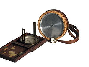
Jedediah Hotchkiss’s Compass, c. 1850–62
“Make Me a Map of the Valley” - Maj. Gen. Thomas J. "Stonewall" Jackson
As spring 1862 arrived, former professor Thomas J. Jackson received orders to drive U.S. forces from the agriculturally rich Shenandoah Valley. Jackson directed mapmaker Jedediah Hotchkiss to “make me a map of the Valley, from Harper’s Ferry to Lexington, showing all the points of offence and defence in those places.” Armed with Hotchkiss’s detailed and accurate maps, Jackson skillfully maneuvered his 17,000 men against larger but dispersed U.S. forces. He defeated portions of three United States armies and tied up nearly 60,000 troops that otherwise might have moved against Richmond when McClellan attacked it from the east.
Jedediah Hotchkiss never held an official rank in the Confederate army. As a mapmaker, his most effective tool was this compass, which he used to draw this detailed map of the Shenandoah Valley.

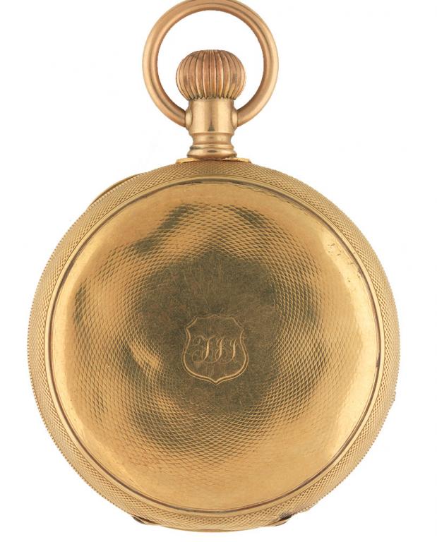
“Stonewall” Jackson's Circular and Golden Pocket Watch
Watch the Time
Although the clockworks were replaced, this watch’s case was used throughout the Civil War by “Stonewall” Jackson. Careful not to exhaust his troops during forced marches, he ordered them to rest for ten minutes every hour.

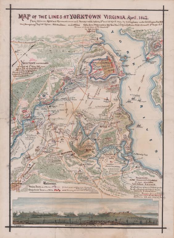
Map of the Union defensive lines at Yorktown by Robert Knox Sneden
"The Maps of the Peninsula are Perfectly Unreliable" - Maj. Gen. George B. McClellan
In a bold attempt to capture Richmond, U.S. general George B. McClellan transported 121,000 men to the Virginia Peninsula—the largest army ever assembled in North America. Supplied with inaccurate maps and convinced he was outnumbered, McClellan took two months to advance the seventy-two miles toward Richmond. He employed soldiers with artistic talent, like Pvt. Robert Knox Sneden of the 40th New York Infantry, to create accurate maps of the region.
In late June 1862, the newly appointed defender of Richmond—Robert E. Lee—relentlessly attacked a U.S. army within sight of the city and remarkably turned the tide. Not anticipating so ferocious a counterattack and ever cautious, McClellan retreated to his base along the James River.
