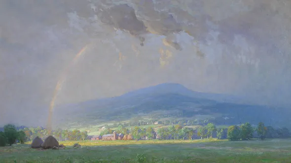
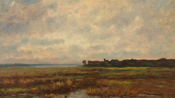
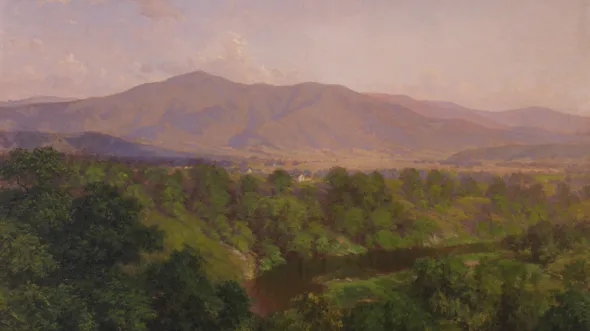
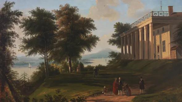
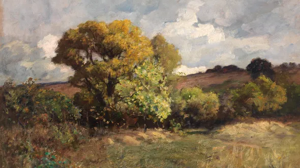
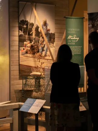
About the Exhibition: The geography of Virginia has shaped the history of the state and the nation. A mild climate and navigable rivers attracted Native Americans and the first European settlers to the Tidewater. Fertile soil fueled a prosperous economy, and the Chesapeake Bay and the rivers that feed it connected Virginia and its agricultural products to the world. The landscapes of the Piedmont, Valley, and Blue Ridge inspired Thomas Jefferson’s vision of a virtuous rural society. Virginia’s importance and location midway between North and South brought the federal capital to the banks of the Potomac and made it the bloodiest battleground of the Civil War. The harbor of Hampton Roads allowed military buildup in the twentieth century and the export of coal and lumber from both southwestern counties of the Valley and the Appalachian Plateau. Geography continues to play a pivotal role in Virginia’s politics, society, and economy.
This exhibition is generously supported by the Elis Olsson Memorial Foundation and the Robins Foundation.

